|
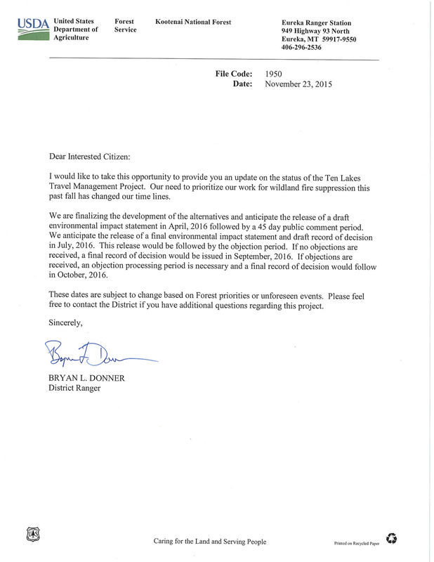
Good news, I think. The final decision on the Ten Lakes Travel Management Project has been delayed and looks like they are going to do the full NEPA process. This means we will get the chance to comment and object. It will be critical that we get as many comments submitted as we can.
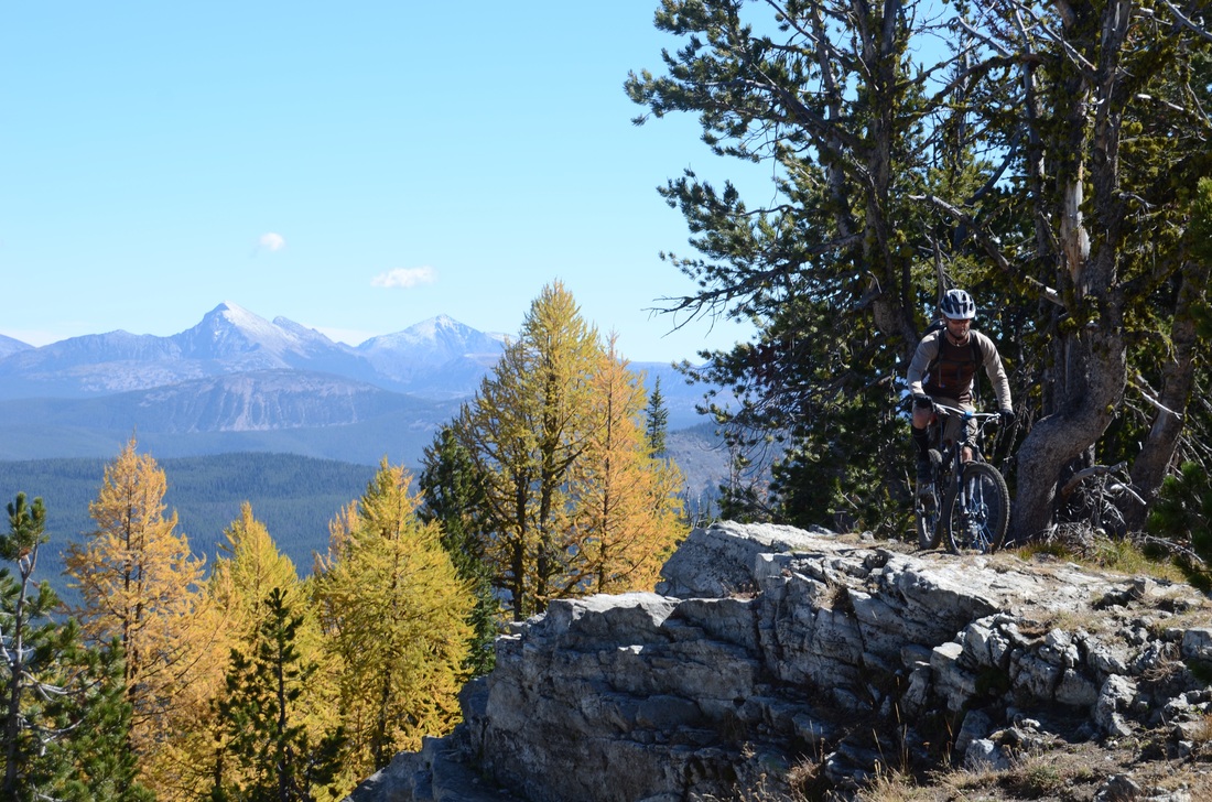
At a minimum this means we have one more season to ride the area and take it the sublime views and sweet trails. It also means we have more time to raise money to press our legal challenge in the Bitterroot, which when successful will make the other National Forests in the state less likely to follow the same path. The 45 day comment period will start in April with the final EIS in July and a final record of decision in October since I expect there will be objections. When we here more in April we we let everyone know.
0 Comments
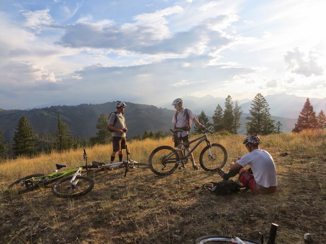
For some of you who have never ridden these trails, the big question is why should you care. For me it is easy, I've had some of the most memorable experiences out exploring our "wild backyard." Maybe sharing some of these memories will inspire you. So here's one adventure from one of last year's trail clearing outings.
Wait, what's with the Blue Joint title? Wasn't this week's ride Buttercup? Yeah it was, but since I figured you were tired of lame posts, I decided to write about something more memorable. Not that there was anything wrong with Buttercup. As usual it was fun and I was meh. I neither crushed the climbs or slayed the descents.
So as pleasant as Buttercup was, it will ultimately blur into vague happy memories. Our recent Blue Joint adventure, in contrast will not share that fate. A ride that ended with my glowing rump a beacon to every baboon in the vicinity. As the number of simian propositions fade, so do the memories of misery. Leaving behind in it's stead only fond recollections of adventure. No wonder we do such stupid shit.
So a few weekends ago, while everyone else in the local posse was glued to their computers watching a bunch of red dots move across the map from Fitzgerald's to Red Barn, I managed to talk Jeff and Rob into a 30 mile trail clearing mission on Blue Joint and Little Blue Joint. It's hard to believe it had been five years since the previous debacle when I managed to shear off my rear brake lever in the first mile. Since the fires and downfall had left most everyone reluctant to journey past the 8 mile meadows. Yet i, naively as history would show, was determined, to reverse this abomination. The whole single track loop deserved to be returned to our collection of big rides.
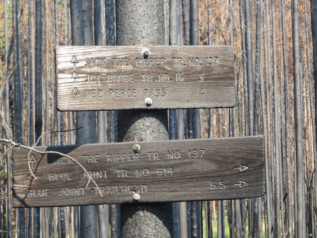
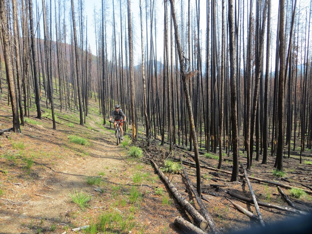
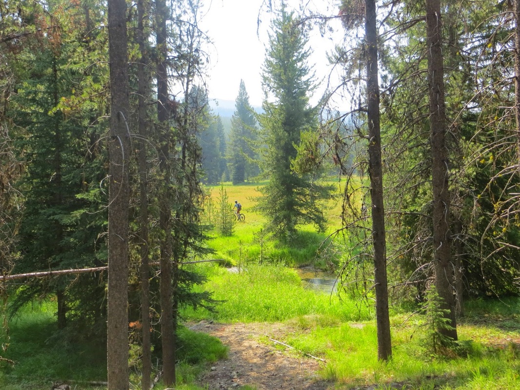
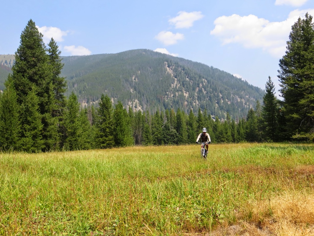
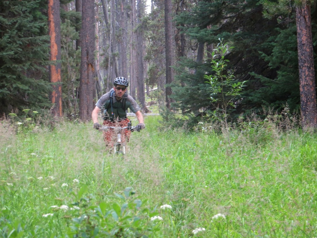
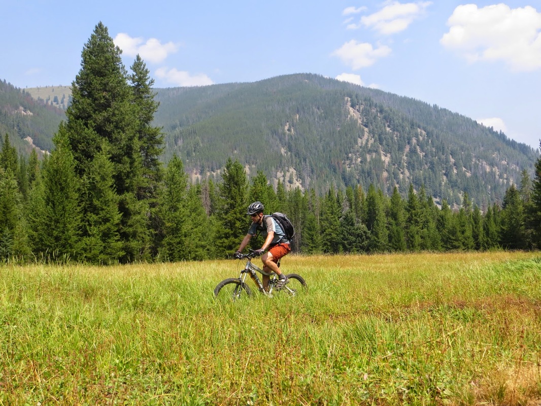
Having climbed both Little Blue Joint and Blue Joint, we decided to break with tradition and climb the more mellow grade of Blue Joint rather than hike-a-bike up Little.. Everthing started out so well. We had our silkys , great weather, and great trails. Blue Joint had already been cleared to Jack the Ripper. Last Year's Gold Pan fire had burned through the Ripper and down around Blue Joint for about a mile of trail. I had heard tales of a non-bikes sign at the junction. If it ever existed the fire took care of it. Heading up to the meadows, we easily dispatched the fallen lodgepole . Heading past the meadow we kept climbing and about two miles past we ran into the first jumble of trees. Not easy with hand saws, but manageable. As we kept climbing, more trees; quite a few that seemed to have been there since my last venture. We kept diligently clearing, and the trees kept getting bigger. Heavy firs and spruce replacing the dried out lodgepole. Eventually we realized that if we had any chance of making it Little Blue Joint we would need to give up on the last four miles.
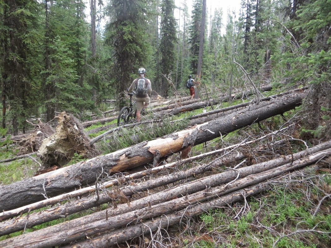
Ahead we plodded, and the more we plodded the worse it became and it short order we abandoned all attempts at riding as climbed up, over, and around over hundreds if not thousands of trees. At one point we were forced trail for about a quarter mile. It there that we saw someone else had done the same detour putting blazes on the trees for a reroute.. So glad they were carrying an axe, but not a saw.
Eventually we stumbled out onto Deer Creek and the dead end road at the upper trailhead. Rumor had it that Razorback had been partially cleared, but sage Jeff pointed out that we didn't know from which trailhead the clearing attempt was begun. Not interested in more climbing over endless deadfall we decided we would ride up the trail just far enough to see if it had been cleared. We ran into trees within 100 yards and wisely decided to take the road back around.
Unfortunately, that wisdom didn't last long. Riding back towards Woods Creek Pass we noticed a sign for Deer Creek and an unexplored trail heading downhill. There were signs the trail had been cleared at least in the last couple of years, and a quick reconnoiter revealed no downed trees.
With only a couple of miles of road riding, we were already bored with the idea of close to 30 miles of gravel and pavement back to car. Displaying an incredible amount of common sense, I figured how bad could it be. After all, the Forest Service website had reported that the bottom four miles of Deer Creek were already cleared and it's all downhill. Rob was also willing. Jeff, on the other hand was reluctant. Jeff was always up for exploration, and let's just say that Jeff's exploration rides have developed a certain reputation. I should have realized that if Jeff wants to stick to the road, we should stick to the road.
But no, the lure of finally getting some sweet downhill was overwhelming. So off we went, and it was so good. Tempting us farther and farther in. Encouraging us with the occasional small downed lodgepole, enough that we could justify this part of the ride as trail clearing. Abundant huckleberries nourished us. Then slowly and imperceptibly the downfall got heavier, but still just lodgepole. If we could hop them they stayed, otherwise they went. Then the downfall started having branches. Then the downfall was a Jenga challenge. It was about then that we realized we were screwed. Miles to go, and the only option was forward. Saws were sheathed, water replenished from a creek, and couple more handfuls of huckleberries tossed back for energy.
Those who have ridden Blue Joint may recall the trail side hilling across fields of loose degenerated granite. Stuff that just sloughs off the hill, giving way on the downhill side, and covering up the trail on the uphill side. Now image similar hillsides, but with the trail high above the creek. Now imagine that those hillsides never seemed to stop. Got all of that. Now add Ponderosas. Not the picturesque upright ones, but the the massive rotting, too big to climb over fallen ones. Good there were dozens of those. Remember that degenerate granite again, imagine that no one had been on this trail for years since the the fallen ponderosas had blocked the rare visitor. The trail was nearly gone, and when it was present you could see where a horse had stepped and the hillside had accelerated its race to creek bottom. At this point the DZ nuts had long wore off and walking seemed to exacerbate the chafing. Still riding seemed like a appointment with the man in black.
Now mostly walking and getting the occasional chance to coast until the next obstacle. Looking and hoping for that pile of fresh saw dust indicating that you had reached farthest extent of the rumored trail clearing.
Finally, a freshly cut log. Only four more miles to the road. Then 15 miles of racing the fading daylight back to the car on the other side of Painted Rocks.
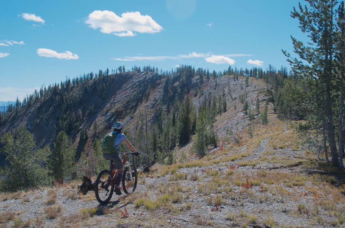
Adventure, Wilderness. Backcountry. Some days you need to leave the buffed manicured trails, risk the monkey butt and go explore. That's what we are losing when these trails are closed.
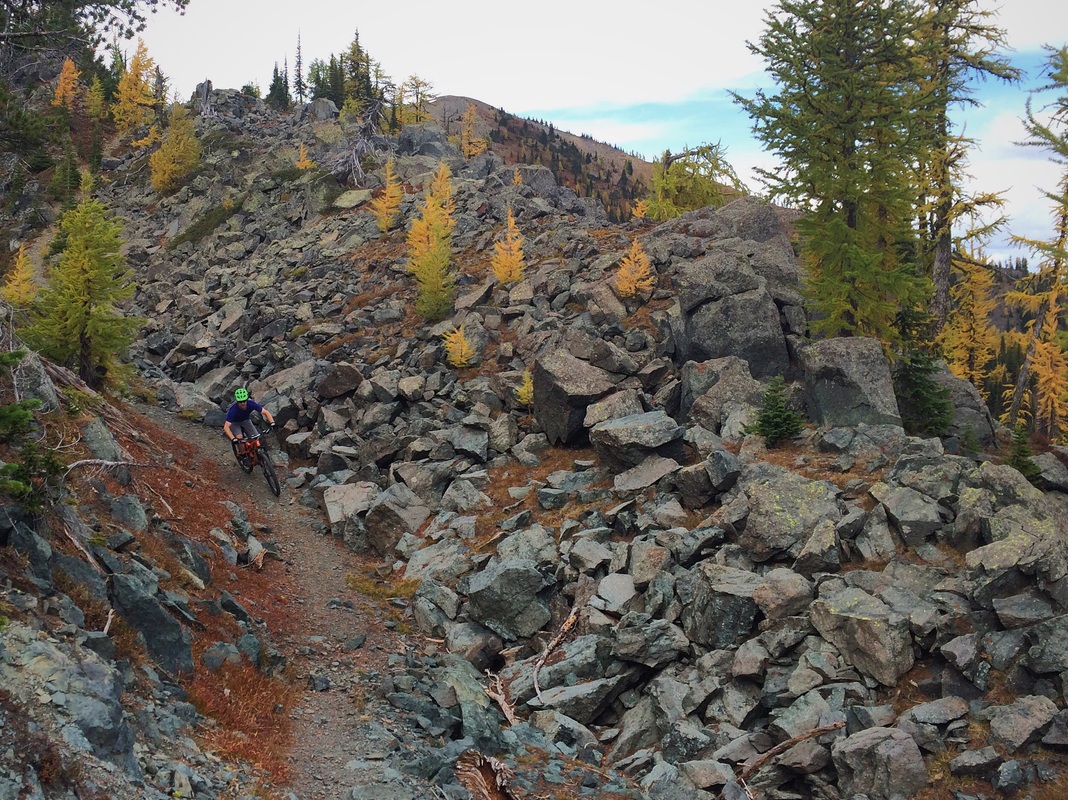
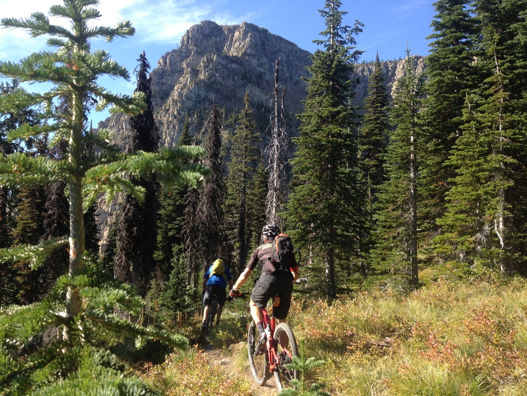
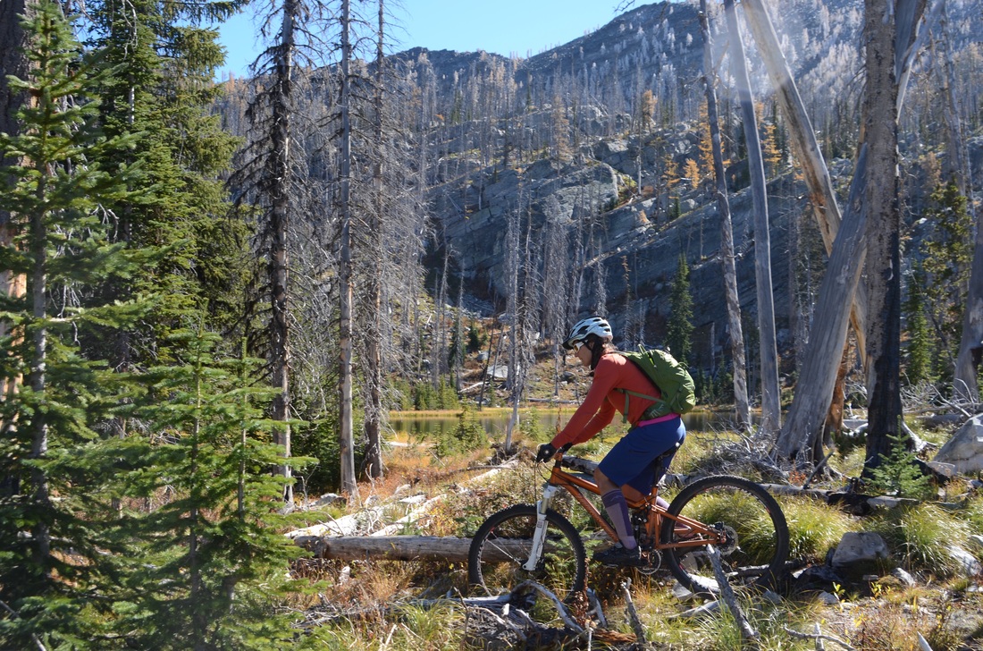
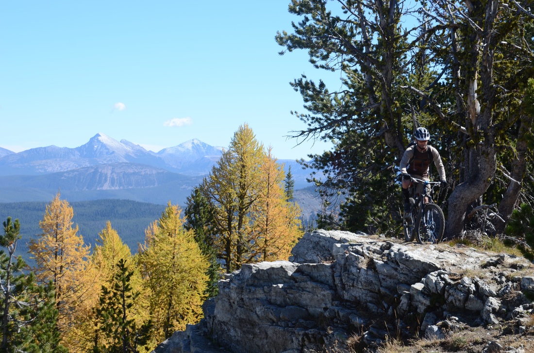
This summer I spent as much time as possible riding trails that I may never get the chance to ride again. My one regret was not getting up to the Ten Lakes WSA to check out the riding in just of east of Eureka in northern Montana. Some colleagues from Canada, told me they frequently crossed the border to ride there since it was better than their local rides. When people from B.C. road trip to ride your trails, you know the trails must be something special.
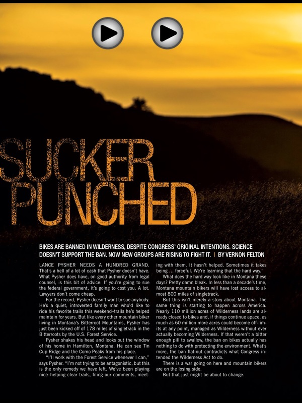
Nearly ninety miles of trail, hundred mile views from British Columbia to Glacier National Park, and even multi-day tours between fire lookouts. A special place. Even the Sierra Club seems to agree. It's hard to believe that this battle for trail access in Montana has been going on for nearly ten years. After five years of active public involvement including 16,000 comments, the Gallatin National Forest released their travel plan in 2006. While the mountain biking community wasn't happy to lose 60 miles of trail, it was compromise we thought we could live with. Other groups were not as generous, and shortly thereafter the Greater Yellowstone Coalition, Montana Wilderness Association and The Wilderness Society filed suit to close an additional 220 miles of trail. That lawsuit evolved into a wilderness versus motorized slugfest with no one representing mountain bikes. With no mountain bike at the trial, the conservationists were able to convince the judge that mountain bikes are equivalent to motorized, since both are classified as "mechanized." It was at this time that we began to organize and in the fall of 2006 the Montana Mountain Bike Alliance (MMBA) took shape. We quickly discovered that seven other national forests were proposing similar bans on bikes. We discovered that the Region 1 National Forests had created a policy, unique to Montana, that they would manage recommended wilderness as "wilderness," not due to any evidence of disproportionate impact from bikes but rather to prevent user groups that might oppose future wilderness designation from becoming organized. With the wilderness groups "alleging that cyclists were "depriving their membership from the ability to find solitude” we realized our group of volunteers would be going up against not just the Region One National Forests, but also the combined opposition of state and national wilderness groups with their paid staff and deep pockets. For a little perspective the Montana Wilderness Association had revenue of $2,000,000 in 2014 and the Wilderness Society nearly $40,000,000. Various mountain groups in Montana may have raised a couple thousand, and IMBA had $4,000,000 in revenue. The closures picked up steam in 2009, the Beaverhead - Deer Lodge National Forest released their forest plan, closing 320 miles of trail. Ignoring our request, along with IMBA, to leave 30 miles of those trails open to bikes. Additional travel plans were in the draft stage in the Clearwater and Bitterroot National Forests.
In 2011, the Bitterroot Backcountry Cyclists organized to provide a local voice advocating for mountain biking in the Bitterroot Valley and in 2014 became the first IMBA chapter in Montana. This year, the long delayed Bitterroot Travel Plan was released and the number of trails being closed jumped to 178 miles from the 50 initially proposed. Trails that we had been riding and maintaining, officially and unofficially for close to two decades. Now, not only will recommended wilderness be closed to bikes, but so will Wilderness Study Areas. The same thing is occurring farther north near the Canadian border in the Ten Lakes Wilderness Study Area, where 70 out of 86 miles of single track will be lost. With this latest change in the rules even more trails, trails that were left open in the last round of closures, will be at risk. During the last ten years we have learned more about NEPA, EIS, travel plans, forest plans, minimization protocols than any sane person would want to know. The most important thing we have learned is the Forest Service is not following their own rules or the standards set forth by NEPA, and they have only been able to accomplish this because we have not had the financial wherewithal to force them to abide by their own regulations. Help us roll back this misguided Forest Service policy.
,It's hard to believe that this battle for trail access in Montana has been going on for nearly ten years. After five years of active public involvement including 16,000 comments, the Gallatin National Forest released their travel plan in 2006. While the mountain biking community wasn't happy to lose 60 miles of trail, it was compromise we thought we could live with. Other groups were not as generous, and shortly thereafter the Greater Yellowstone Coalition, Montana Wilderness Association and The Wilderness Society filed suit to close an additional 220 miles of trail. That lawsuit evolved into a wilderness versus motorized slugfest with no one representing mountain bikes. With no mountain bike at the trial, the conservationists were able to convince the judge that mountain bikes are equivalent to motorized, since both are classified as "mechanized."
It was at this time that we began to organize and in the fall of 2006 the Montana Mountain Bike Alliance (MMBA) took shape. We quickly discovered that seven other national forests were proposing similar bans on bikes. We discovered that the Region 1 National Forests had created a policy, unique to Montana, that they would manage recommended wilderness as "wilderness," not due to any evidence of disproportionate impact from bikes but rather to prevent user groups that might oppose future wilderness designation from becoming organized. With the wilderness groups "alleging that cyclists were "depriving their membership from the ability to find solitude” we realized our group of volunteers would be going up against not just the Region One National Forests, but also the combined opposition of state and national wilderness groups with their paid staff and deep pockets. For a little perspective the Montana Wilderness Association had revenue of $2,000,000 in 2014 and the Wilderness Society nearly $40,000,000. Various mountain groups in Montana may have raised a couple thousand, and IMBA had $4,000,000 in revenue.
2009 was a busy year, the Beaverhead - Deer Lodge National Forest released their forest plan, closing 320 miles of trail. Ignoring our request, along with IMBA, to leave 30 miles of those trails open to bikes. Additional travel plans were in the draft stage in the Clearwater and Bitterroot National Forests.
In 2011, the Bitterroot Backcountry Cyclists organized to provide a local voice advocating for mountain biking in the Bitterroot Valley and in 2014 became the first IMBA chapter in Montana. This year, the long delayed Bitterroot Travel Plan was released and the number of trails being closed jumped to 178 miles from the 50 initially proposed. Trails that we had been riding and maintaining, officially and unofficially for close to two decades. Now, not only will recommended wilderness be closed to bikes, but so will Wilderness Study Areas. The same thing is occurring farther north near the Canadian border in the Ten Lakes Wilderness Study Area, where 70 out of 86 miles of single track will be lost. With this latest change in the rules even more trails, trails that were left open in the last round of closures, will be at risk. During the last ten years we have learned more about NEPA, EIS, travel plans, forest plans, minimization protocols than any sane person would want to know. The most important thing we have learned is the Forest Service is not following their own rules or the standards set forth by NEPA, and they have only been able to accomplish this because we have not had the financial wherewithal to force them to abide by their own regulations. Help us roll back this misguided Forest Service policy. |
AuthorLance Pysher Archives
September 2017
CategoriesInstagram |
 RSS Feed